European river barriers mapped in new atlas
-
 Esther Rasenberg
Share article:
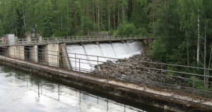
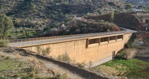
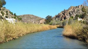
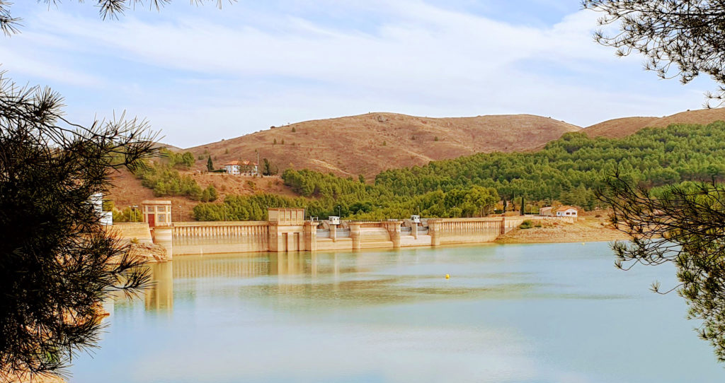
Europe’s rivers have at least 1.2 million instream barriers, expect researchers from Amber, a large collaborative Horizon 2020 project, coordinated by Swansea University. Thousands of dams, but also a large network of low-head structures such as weirs, culverts, fords, sluices and ramps are now mapped. Barriers are considered to hamper achieving a good ecological status according to the Water Framework Directive and fish migration.
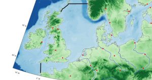
Throughout Europe, there is inconsistent and incomplete data on how many barriers currently exist. The Amber project created a map of barriers within European rivers. There are over 630.000 barriers fragmenting our rivers recorded now, but not all barriers are known yet. After walking 2,700 km of streams in 28 countries, researchers discovered a lot of small barriers remain unrecorded. Based on these results the AMBER researchers expect there are over 1.2 million barriers in Europe’s rivers. The researchers are still gathering more data by using citizen science. Citizens can help identifying barriers by providing the location and a photo using the The Barrier Tracker app.
Barrier density
Until now the barrier Atlas offers the most comprehensive overview of available information on barriers in Europe. The extent of river fragmentation in Europe is much higher than anyone had anticipated, states Barbara Belletti, a river geomorphologist in a publication in National Geographic. In a publication in Nature the researchers show that there are at least 1.2 million instream barriers in 36 European countries (with a mean density of 0.74 barriers per kilometre), 68 per cent of which are structures less than two metres in height that are often overlooked. The highest barrier densities occur in the heavily modified rivers of central Europe and the lowest barrier densities occur in the most remote alpine areas. Across Europe, the main predictors of barrier density are agricultural pressure, density of river-road crossings, extent of surface water and elevation.
Adaptive management
AMBER seeks to apply adaptive management to the operation of barriers in European rivers to achieve a more effective and efficient restoration of stream connectivity. To do this the project team is developing tools, models, and toolkits that will allow hydropower companies and river managers to maximize benefits and minimize ecological impacts. This will improve energy security, help protect jobs, and boost European competitiveness, particularly in rural economies. The project will also help protect global biodiversity in rivers by decreasing fragmentation, promoting habitat connectivity and evaluating the merits of different restoration actions through developed tools. Over the years across Europe about 5.000 barriers have been already removed and many more will be demolished in the future.
Project team
The Amber consortium consists of twenty active partners. They include large hydropower businesses, rivers authorities, non-governmental organisations, universities and the European Joint Research Centre. The institutions are spread throughout Europe including Poland, Italy, Germany, UK, Ireland, Netherlands, Spain, France, Switzerland, Denmark and Sweden. A large number of end-users have been identified representing stakeholder interests not only in every single European Member State, but also in European Free Trade Association countries. The team showcases what Europe can achieve in terms of international strategic collaboration, while knowledge transfer promoted through the consortium will help to overcome the innovation divide between regions.
